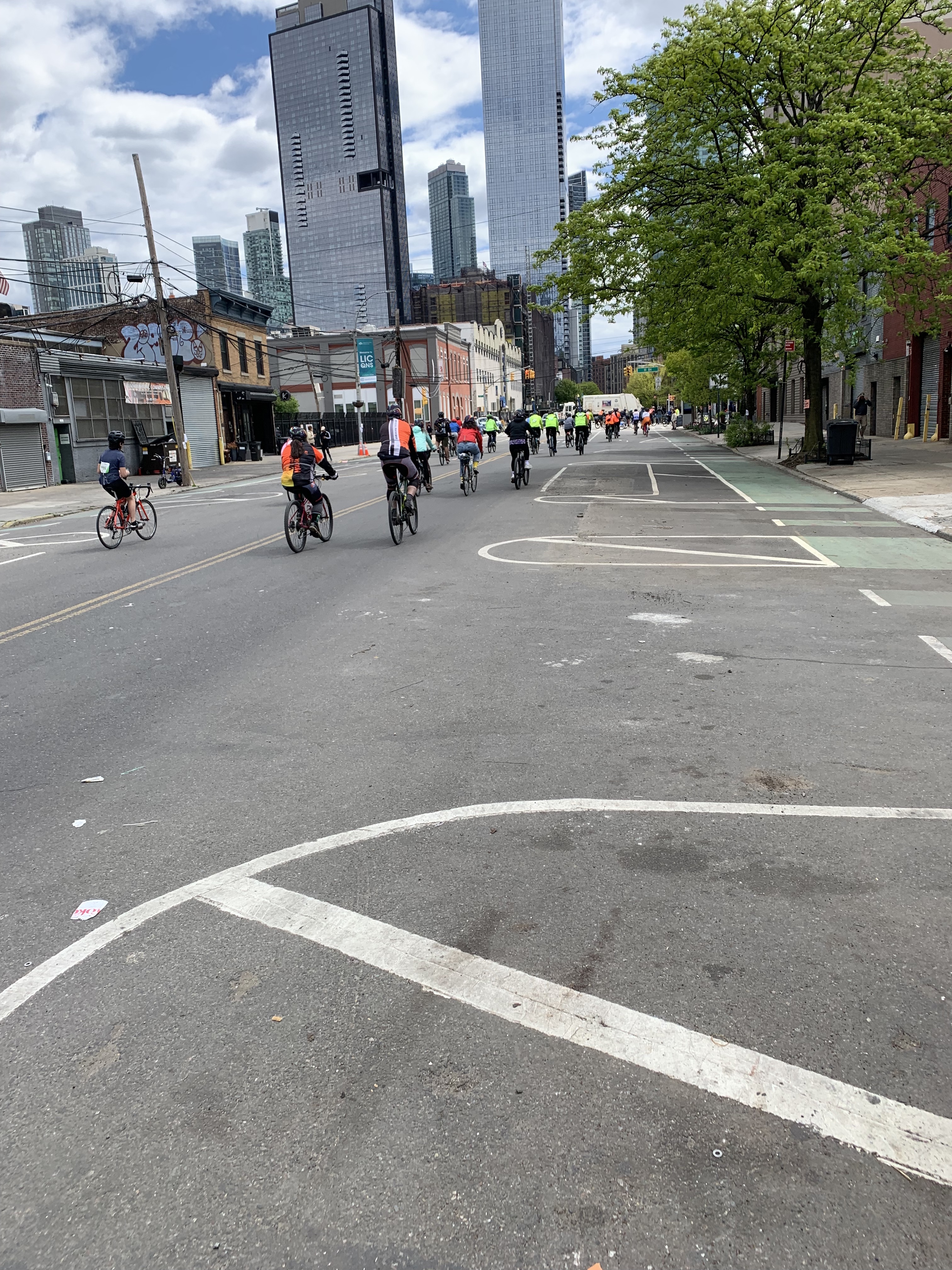
I had a bike commute where I happened to join the 2026 May 3rd 5 borough bike tour1. I was curious how much overlap I had.
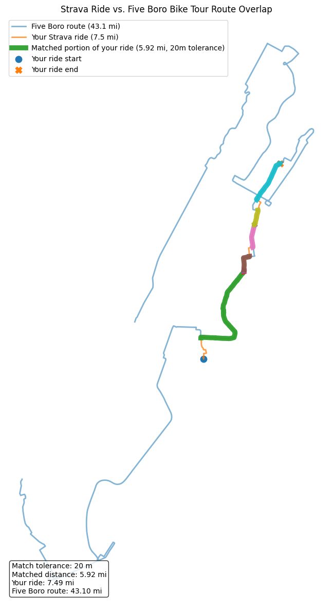
The below is an overlay output from a vibe coded ChatGPT session, extracting the overlay data using gpx from my strava data and gpx from the bike tour that looks like is here2. So in my mind it felt like 5 miles. And looks like it was about 5.92 miles.
Build the overlap
from pathlib import Path
from create_bike_overlap_map import read_gpx_points, plot_overlay
strava_gpx = "data/Evening_E_Bike_Ride.gpx"
tour_gpx = "data/Five_Boro_Bike_Tour.gpx"
strava_pts = read_gpx_points(strava_gpx)
tour_pts = read_gpx_points(tour_gpx)
strava_pts[:2], strava_pts[-2:], tour_pts[:2], tour_pts[-2:]
([(-73.979077, 40.689653), (-73.979077, 40.689653)],
 [(-73.937761, 40.767267), (-73.937752, 40.767274)],
 [(-74.01496, 40.70474), (-74.01426, 40.70628)],
 [(-74.075024, 40.642269), (-74.075015, 40.642433)])
tolerance_m = 20
png_out_file = Path("bike_tour_overlap_map.png")
geojson_out = Path("bike_tour_overlap_segments.geojson")

plot_overlay(
    strava_pts,
    tour_pts,
    tolerance_m,
    png_out_file,
    geojson_out,
)
Wrote bike_tour_overlap_map.png
Wrote bike_tour_overlap_segments.geojson
Matched miles: 5.92
Building this blogpost
This blogpost was built, by running the ipynb notebook here4 and converting the ipynb to markdown
References
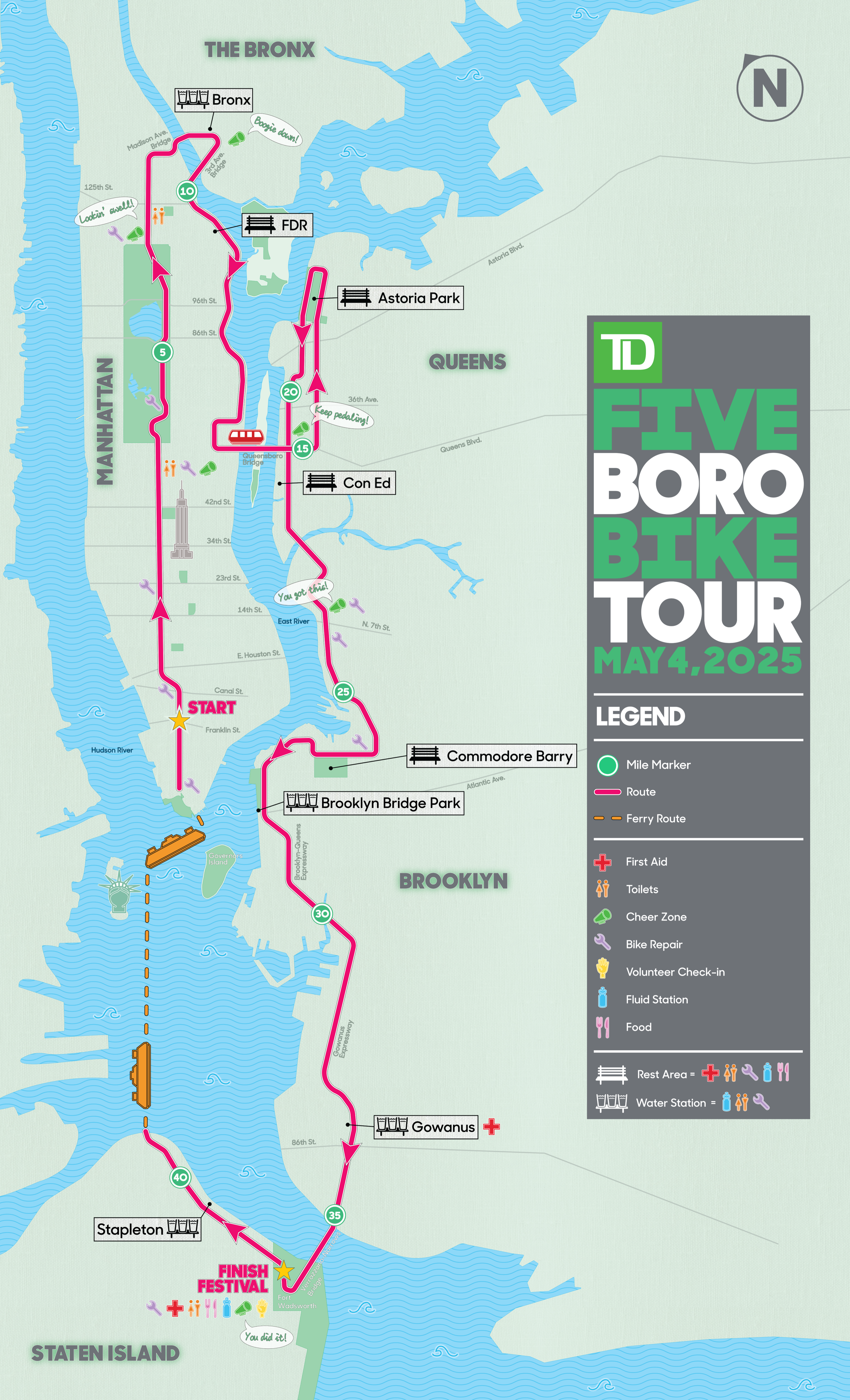
- https://www.bike.nyc/wp-content/uploads/2025/04/2025-Tour-Map.png
- gpx data here, https://ridewithgps.com/routes/46474401
- did not find gpx data here though, https://www.nycbikemaps.com/maps/five-boro-bike-tour-map/interactive-5-boro-bike-tour-map/
- https://github.com/namoopsoo/gpx-stuff
- https://support.ridewithgps.com/hc/en-us/articles/13004717775515-Send-to-Device-on-Mobile#export-to-share:~:text=their%20Files%20app.-,Export%20to%20Share,-Once%20you%27ve%20exported